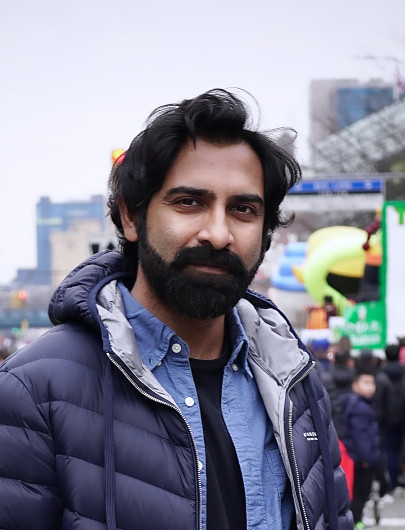
I’m Javed Hossain, a Geospatial Information Systems Analyst with a strong background in computer science. With a passion for solving complex spatial problems, I specialize in geospatial modeling and analytics, remote sensing, geoprocessing tool development, database management and web application development.
My passion for GIS stems from an insatiable wanderlust. Throughout my travels across South and Southeast Asia, I have spent countless days hiking in the Himalayan mountains of Nepal, visiting historic cities in India, scuba diving in the Maldives and Indonesia, exploring the ancient rainforests of Borneo, photographing pagodas in Myanmar, and navigating the mangrove forests of Bangladesh. My constant use of Google Maps (when online), Maps.me (when offline), and even printed maps while exploring new places sparked my interest in cartography, GPS, remote sensing, and eventually, GIS. These technologies have allowed me to see some of the most incredible places on Earth, a planet I am profoundly grateful to call home.